Monday 21 January 2013

Wyver Lane & Garden Birds

With all the snow this week we decided just to have a local walk around Wyver Lane & Wyver Farm.  We met at the Talbot which is at the bottom of Belper Lane just 10 minutes walk from my house. I got there first and while i was waiting i had a look at the Mill and weir. When we were all together we strolled along Wyver Lane to the bird watching platform where we met an interesting couple from Nottingham road who had been walking in this area for years. We had great discussions on the fall and demise of some of the birds that were very common 30 years ago but are now rarely seen. The main pond was 80% iced over and there was very little to see in the way of wildlife. We then pressed on to the old rifle practice wall, had a look around there and retraced our steps to the footpath that leads up to Wyver Farm. The small copse there has a Geo cache item hidden, which i had found previously a couple of years ago, i showed it to the lads and Rob filled in the log book. We carefully put it back and covered it over again.
We had to get through this very very narrow style, well i got stuck and couldn't stop laughing. From there it was a real struggle to get up this field, the snow covered everything and it was very uneven underneath. When we got to the top of the field after all this struggling i couldn't believe it when i saw 3 blokes riding past in the snow uphill on mountain bikes (they are a different breed). From here it was a walk through the farm yard and through an avenue of trees to come at the top end of Belper Lane.
10 minutes later we were in my garage eating breakfast, they wouldn't take there boots off to come into the house. After brekki and a chat the three Blackbrookers had another 3/4 mile to walk Home.
The photos are from my walk with the lads plus a couple of pics i did the next day after some more snow and a couple of bird pics from my back garden.
Belper Mill & Weir
Looking up Bridge Hill

The garden opposite the Talbot
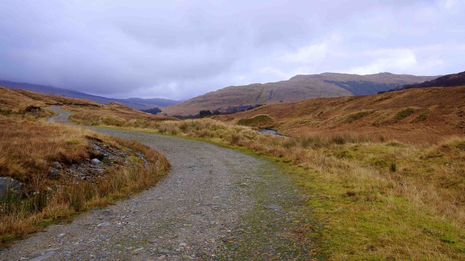
Wyver Lane

Belper Wildlife Pond


Rifle Practice Wall

Not a tropical Island


Me stuck in a style


Mountain bikers everywhere


I dont think it'll pass its MOT

Weird shaped window frame on this old barn

Wyver farm


Looking down Pinewood Road           
Looking down Belper Lane


Looks like this sheep has been dragged through a hedge backwrds


Until 2 days ago the bird hierarchy of the birds was straight forward. When the Dunnock eats the food he is bombed by the Robin, then the Robin is chased by the Blackbird. Well since the arrival of Thrushy  he's in charge, he has even taken out a pigeon. Fascinating to watch nature at work.


Long Tailed Tits are left alone by the others.
                                               
See you next week
Cheers


Monday 14 January 2013

A few days in Tyndrum, Scotland.

We had a few days away up in Tyndrum, Scotland on a coach tour with Highland Heritage. The weather could have been better but it was still a very nice break. The hotel was The Royal and cant be faulted, the rooms, the food and staff were all excellent. There were trips out every day but i had been to all of them so i stopped in a couple of days and had  a walk along part of the West Highland Way. Just strung a few pics together of some of the places visited.
River rapids just north of  Tyndrum Lower railway station
Looking north from Tyndrum Lower railway station
The start of my walk at Kirkton Farm where i got dropped off  from the coach.
Graveyard opposite St. Fillan's Priory
 St. Fillan's Priory a ruined small religious house lying next to Kirkton Farm, on the left bank of the River Fillan, 2 miles (3 km) southeast of Tyndrum and 3 miles (5 km) northwest of Crianlarich, St. Fillan's Priory was established by Robert the Bruce in 1318 close to the site of an older foundation. St. Fillan had brought Christianity from Iona in the 8th century and created a monastic settlement at nearby Auchtertyre. Following his defeat at the Battle of Methven in 1306, Bruce was granted sanctuary at the old chapel here. In gratitude gave land to build a new foundation, and the church at Killin, to the Augustinian monks of Inchaffray Abbey on condition they maintain the new priory.
Alistair MacDougall, seeking revenge for Bruce's murder of John Comyn, tracked down Bruce and his men to the priory. A battle ensued in a nearby field, now known as Dalrigh (the King's Field) in which Bruce and his men fought bravely against greatly superior numbers before being forced to flee. In retreat, Bruce's men threw their heavy arms into the tiny Lochan nan Arm, where they are thought to remain to this day.By 1607 the priory had become the property of the Campbells. Little remains of the building as the stones were quarried to construct the neighbouring farmhouse and its outbuildings. A half-mile (0.8 km) to the northwest is St. Fillan's Holy Pool, which was blessed by the saint and said to cure insanity.
The remains of  St. Fillans Priory
Looking south towards Ben More on the left.


Looking north towards Dalrigh
Me, having a rest  on the West Highland Way.
The West highland Way stretches from Glasgow to Fort William and is 96 miles long.


Wigwams at Strathfillan with the Fort William railway line above.
Waterfall at Strathfillan Wigwams

Waterfall at Strathfillan Wigwams
Old road bridge over the river Fillans
St. Fillans Holy Pool where insane people were treated.
St Fillan's Holy Pool is a natural, deep pool at a sharp bend in the River Fillan. There is now no evidence of stonework but the pool was once divided by a stone dyke into male and female sides.
The Battle of Dalrigh, also known as the Battle of Strathfillan, was fought in the summer of 1306 between the army of King Robert I of Scotland against the Clan MacDougall of Argyll who were allies of Clan Comyn and the English. It took place at the hamlet of Dalrigh (the "King's Field" in the Scottish Gaelic language) near Tyndrum in Argyll, Scotland. Bruce's army, reeling westwards after defeat by the English at the Battle of Methven, was intercepted and all but destroyed, with Bruce himself narrowly escaping capture. The battle took place sometime between late July and early August, but the exact date is unknown.
The caption on this stone seat relates to the nearby site of the Battle of Dalrigh 1306.

If you look very carefully bottom right hand corner you may see 2 faces in  the rocks.


I made a detour from the West Highland Way and went on towards the Gold mine  at Cononish


The river Cononish


Long and winding and steep road to the only gold mine in Scotland.
Cononish Gold Mine
 In 1984 a gold bearing quartz vein was discovered by the Irish firm Ennex International on the lower south eastern slopes of Beinn Chùirn just above Cononish Farm at Eas Anie. The company spent over £250,000 doing test drillings and were hopeful that the mine would be very productive. The gold, which is the most important deposit found in Scotland so far, occurs as minute particles inside Pyrite and Galenawhich in turn occur in the quartz vein.
Cononish gold mine on the hillside centre right


Me, just checking my position on my GPS.

Fallen trees just above the Lower railway station in Tyndrum

Back of the Royal Hotel


Train leaving Tyndrum Lower Station


Front of the Royal Hotel
Me in the lift after walking nearly 7 miles humping a heavy tripod, absolutely knackered.
En route to Crieff


In the TI shop Crieff
Original stocks in the TI shop Crieff 
In the TI shop Crieff
Clock decorated with candies shop window in Crieff

Crieff water fountain
 The next few pics were all taken from the coach window at 30mph.

Proper Scotch mist


Went all the way to Scotland looking for snow, got none, been back home 2 days and got 2" this morning. Thats life.
Cheers