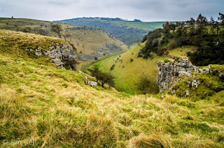
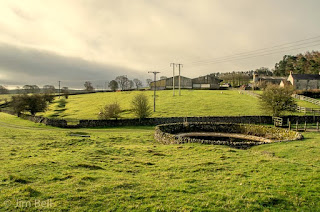
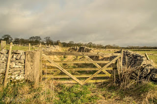
This was just a recce for me to see how to get to Parsons Tor when the weather gets better. I looked at James Grants book and thought I'd have a go at that. I parked next to the toilet block in the lay by before you get to Monyash on the B5055. I just crossed the road and followed the footpath through the gate. After a couple of nice flat fields the footpath then got a bit rough with a very narrow track meandering through a boulder field, some of them a bit slippy. The track went past the bottom of Ricklow Dale and the spoil heap from Ricklow quarry then eventually opened out. Soon got to the cave where the river Lathkill gushes from in the winter but it was completely dry. From there a spotted a track leading up the hill where i wanted to be to get to Parsons Tot. Its about 180 feet from the valley floor to the top and i needed a couple of breathers before i got there. Just turned left at the top and followed the path, its no good if you can't stand heights there's little to stop you before you hit the bottom lol. Soon got to Parsons Tor and boy what a view, can't wait to get back in decent light. Did a few pics then just followed the track back past the top end of Ricklow quarry then through a couple of fields to the road then back to the car.
 |
| Route around Parsons Tor |
 |
| Entering the dale proper |
 |
| Rough track underfoot |
 |
| Me sitting in the Lathkill river head cave |
 |
| Oh that's me and my twin |
 |
| View from above the dale |
 |
| Parsons Tor looking down into Lathkill Dale |
 |
| Another shot from Parsons Tor |
 |
| Heading up through Ricklow Dale back to the car. |
Only 2 1/2 miles but a bit of up and down with about 180 feet difference between top and bottom. The sky was completely bland so need to go back in good photog conditions, but I'll just use the quick top route to get there and back to Parsons Tor.
Cheers


